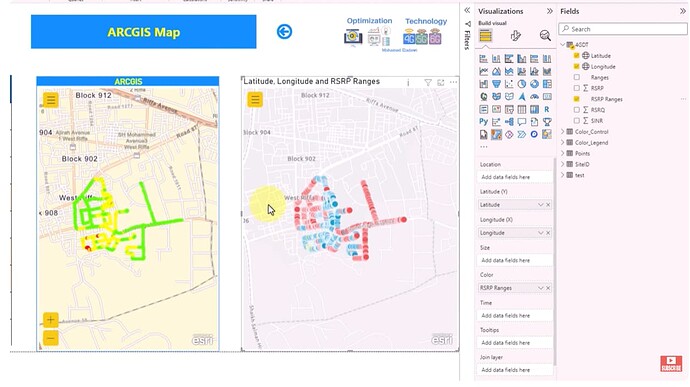
In this video, I’ll cover everything you need to know about ARCGIS Maps in PowerBi. Topics include:
- Introduction
- Plotting points with different colors (Coverage Maps)
- Creating HeatMap
- Clustering
- Excluding areas/points from the map
- Importing Postal Codes from Web
Note: one of the very high limitation in powerbi standards maps that it support a limited number of points to be plotted in the map so it can’t deal with bigdata but this issue addressed by ARCGIS and Mapbox Maps
Watch Video on YouTube: ![]() https://www.youtube.com/watch?v=3xztpU8kpm0
https://www.youtube.com/watch?v=3xztpU8kpm0
LinkedIn: ![]()
